Maps have always fascinated me, and a love of maps was one of the things that drew me into economic history as a discipline. This page showcases some of my favourite pieces from my collection of historical maps, as well as some of the maps of fantastic locales I’ve created in my spare time.
Britannia 1828: A Regency Roadmap of Britain
Recently, I have embarked on a passion project (currently on hiatus while I work on finishing Money and the Search for Security) to create the most accurate possible map of the British road network as it existed 200 years ago, based on the 18th edition of the itinerary Paterson’s Roads, edited by William Mogg. This project covers similar ground to the work of the Cambridge Group for the History of Population and Social Structure (CAMPOP) on the turnpikes, but also covers secondary and non-turnpiked roads and uses the best available records for maximum accuracy (tithe maps and the Ordnance Survey Drawings, as well as newspaper articles, archival findings, and archaeological evidence; the CAMPOP project relies on Cary’s maps of 1832, which are not based on an actual survey and are occasionally inaccurate or out of date). The latest version, at present covering Kent and parts of Sussex and Hampshire, can be found here, and I am more than happy to provide ArcGIS shapefiles to anyone who would like access.

Made by Others


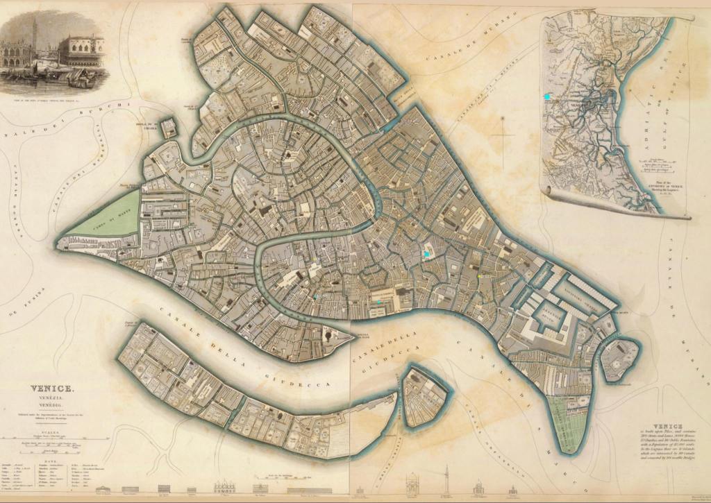

Full-sized Horwood Plan of London. Can you handle the 136MB chonk?
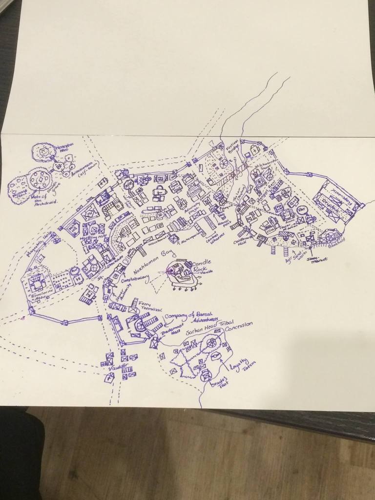
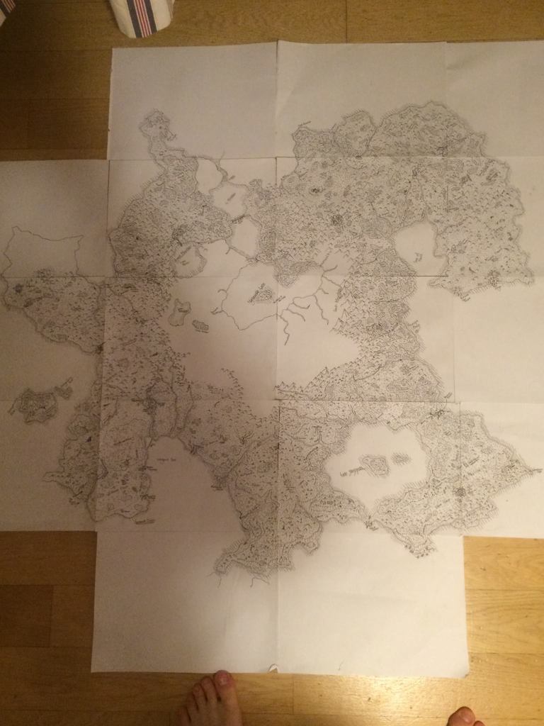
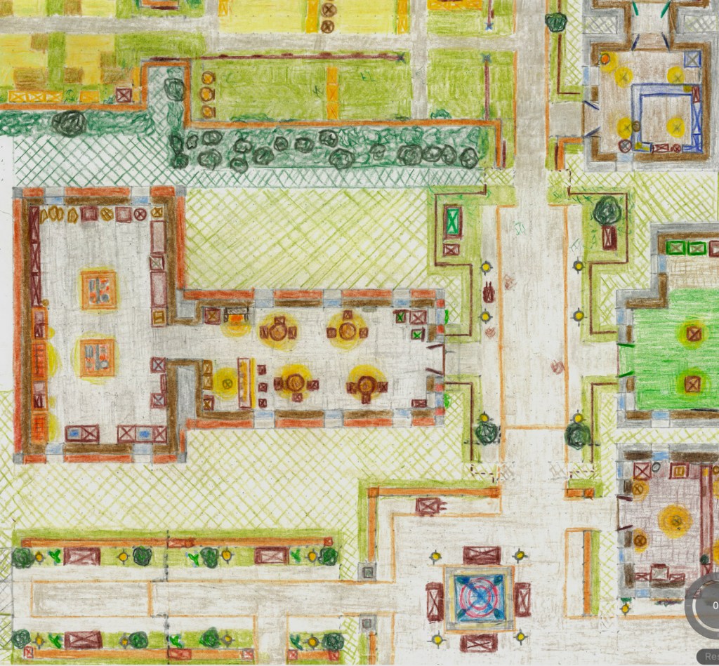
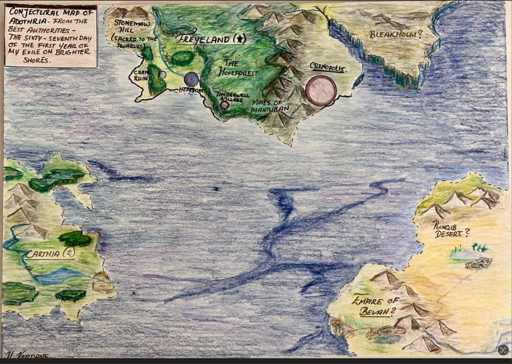
Made by Myself (Fictional)


